
| 
| |
|
|
This page contains photographs of British Columbia's Highway 97 (Okanagan Highway), arranged by location from Kelowna
northerly to Vernon. All photographs displayed on this page were taken by the Webmaster (Cameron Bevers). To view photos of other British Columbia Highways, please
select a highway number listed on the British Columbia Photograph Index Page. Click on any
thumbnail to see a larger image!
Please note that all photographs displayed on this website are protected by copyright. These photographs must not be
reproduced, published, electronically stored or copied, distributed, or posted onto other websites without my written permission. If you want to use photos from this
website, please email me first for permission. Thank-you!
|
|---|
|
Page 3: BC Highway 97 (Okanagan Highway) Photographs: Kelowna to Vernon


Left - Approaching Downtown Kelowna on Hwy 97 from the William R. Bennett Bridge across Okanagan Lake. See an
Enlarged Photo Here. (Photograph taken on June 8, 2015 - © Cameron Bevers) Right - Facing south along Hwy 97 from Downtown Kelowna. The Okanagan Lake Bridge is situated just beyond this reverse curve. See an Enlarged Photo Here. (Photograph taken on June 8, 2015 - © Cameron Bevers) 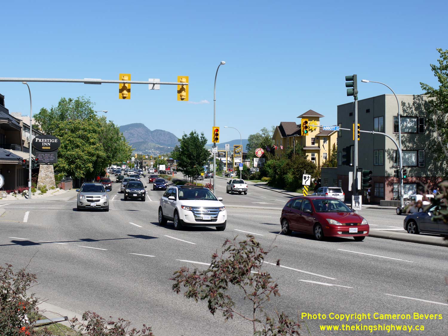

Left - Facing east along Harvey Avenue (Hwy 97) from Abbott Street in Downtown Kelowna. Hwy 97 briefly runs in an east-west direction through the streets of
Downtown Kelowna before curving north again towards Vernon. Since this is the only road leading to the western side of Okanagan Lake, the route of Hwy 97 through
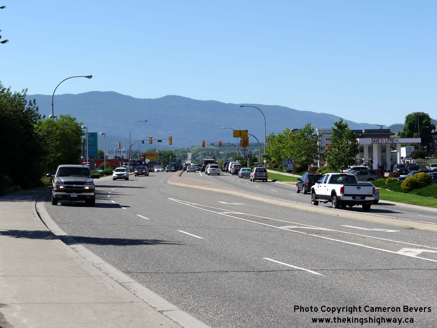
Kelowna is quite busy. See an Enlarged Photo Here. (Photograph taken on June 8, 2015 - © Cameron Bevers) Right - Facing west along Harvey Avenue (Hwy 97) towards Downtown Kelowna from Sutherland Avenue. Hwy 97 widens into a six-lane arterial east of Downtown. The outermost lanes on Hwy 97 are reserved for High-Occupancy Vehicles (HOVs) with two or more vehicle occupants and public transit vehicles. See an Enlarged Photo Here. (Photograph taken on June 8, 2015 - © Cameron Bevers) 
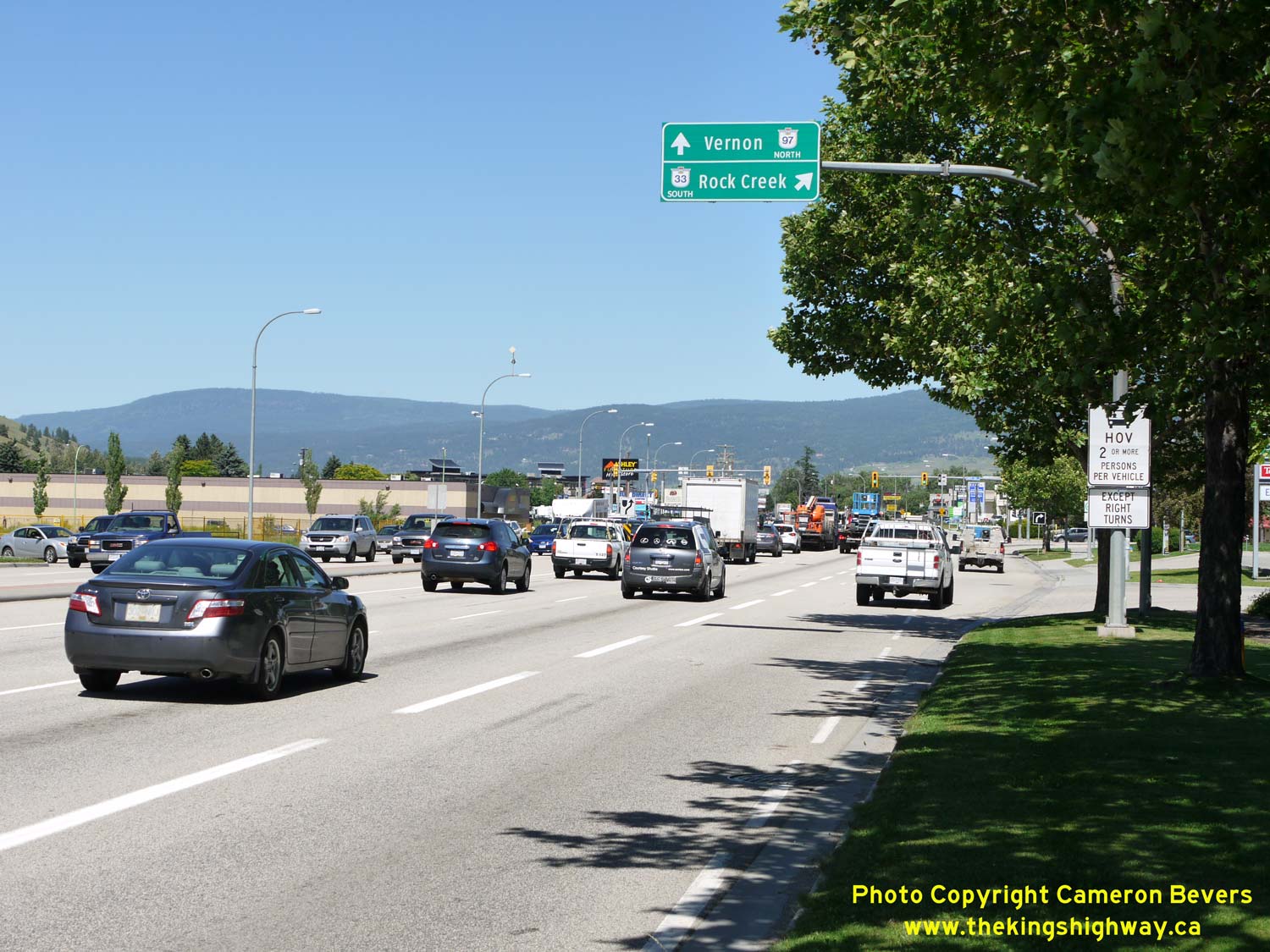
Left - Facing east along Harvey Avenue (Hwy 97) towards Spall Road in Kelowna. Hwy 97 essentially serves as the main arterial street through Kelowna's main
commercial strip, in addition to serving as the Okanagan Valley's only through highway. Given how developed this part of the Okanagan Valley has become over the past
few decades, it would be very difficult, if not impossible, to economically build a Hwy 97 Bypass around Kelowna. See an
Enlarged Photo Here. (Photograph taken on June 8, 2015 - © Cameron Bevers) Right - Overhead guide signs on northbound Hwy 97 approaching the Hwy 33 Junction in Kelowna. See an Enlarged Photo Here. (Photograph taken on June 8, 2015 - © Cameron Bevers) 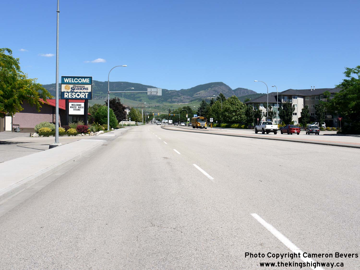

Left - Facing south along Hwy 33 from the Hwy 97 Junction. Hwy 33 is also known as the Kelowna-Rock Creek Highway. This highway extends south from Kelowna for
almost 130 km to join the Crowsnest Highway (Hwy 3) at Rock Creek, located between Osoyoos and Grand Forks. See an
Enlarged Photo Here. (Photograph taken on June 8, 2015 - © Cameron Bevers) Right - Overhead guide signs on northbound Hwy 33 approaching the Hwy 97 Junction in Kelowna. See an Enlarged Photo Here. (Photograph taken on June 8, 2015 - © Cameron Bevers) 

Left - Junction sign assembly at the northern terminus of Hwy 33 at the Hwy 97 Junction in Kelowna. See an
Enlarged Photo Here. (Photograph taken on June 8, 2015 - © Cameron Bevers) Right - Overhead guide signs on southbound Hwy 97 approaching the Hwy 33 Junction in Kelowna. See an Enlarged Photo Here. (Photograph taken on June 8, 2015 - © Cameron Bevers) 

Left - Junction sign assembly on southbound Hwy 97 approaching the Hwy 33 Junction. This is the only provincial highway junction located within the City of
Kelowna. See an Enlarged Photo Here. (Photograph taken on June 8, 2015 - © Cameron Bevers) Right - Facing north along Hwy 97 towards Lake Country from Winfield. See an Enlarged Photo Here. (Photograph taken on June 8, 2015 - © Cameron Bevers) 

Left - Facing north along Hwy 97 from Lake Country towards the Pelmewash Parkway Interchange. A substantial diversion of Hwy 97 was completed in 2013 between
Lake Country and Oyama located on Kalamalka Lake. The new four-lane Hwy 97 curves to the left and ascends into the foothills, while the old route of Hwy 97 (now
Pelmewash Parkway) exits from the expressway at right and follows the shore of Wood Lake. See an
Enlarged Photo Here. (Photograph taken on June 8, 2015 - © Cameron Bevers) Right - Facing south along Hwy 97 approaching the southern end of the diversion between Lake Country and Oyama. Wood Lake can be seen in the distance. See an Enlarged Photo Here. (Photograph taken on June 8, 2015 - © Cameron Bevers) 

Left - Facing north along Hwy 97 about 2 km north of Lake Country. See an
Enlarged Photo Here. (Photograph taken on June 8, 2015 - © Cameron Bevers) Right - Northbound motorists on Hwy 97 are treated to this spectacular view of Wood Lake and Kalamalka Lake on the new highway between Lake Country and Oyama. See an Enlarged Photo Here. (Photograph taken on June 8, 2015 - © Cameron Bevers) 

Left - The new expressway section of Hwy 97 between Lake Country and Oyama was built high up in the foothills, presumably to minimize property impacts and to
increase recreation potential along the old route of the highway (Pelmewash Parkway) which runs directly alongside Wood Lake. See an
Enlarged Photo Here. (Photograph taken on June 8, 2015 - © Cameron Bevers) Right - Facing south along Hwy 97 about 4 km north of Lake Country. This new four-lane expressway section of Hwy 97 has undoubtedly eased traffic congestion between Kelowna and Vernon. The 8 km diversion is a welcome relief to the signal-clogged arterial sections of Hwy 97, which are slow and quite tedious to drive upon. See an Enlarged Photo Here. (Photograph taken on June 8, 2015 - © Cameron Bevers) 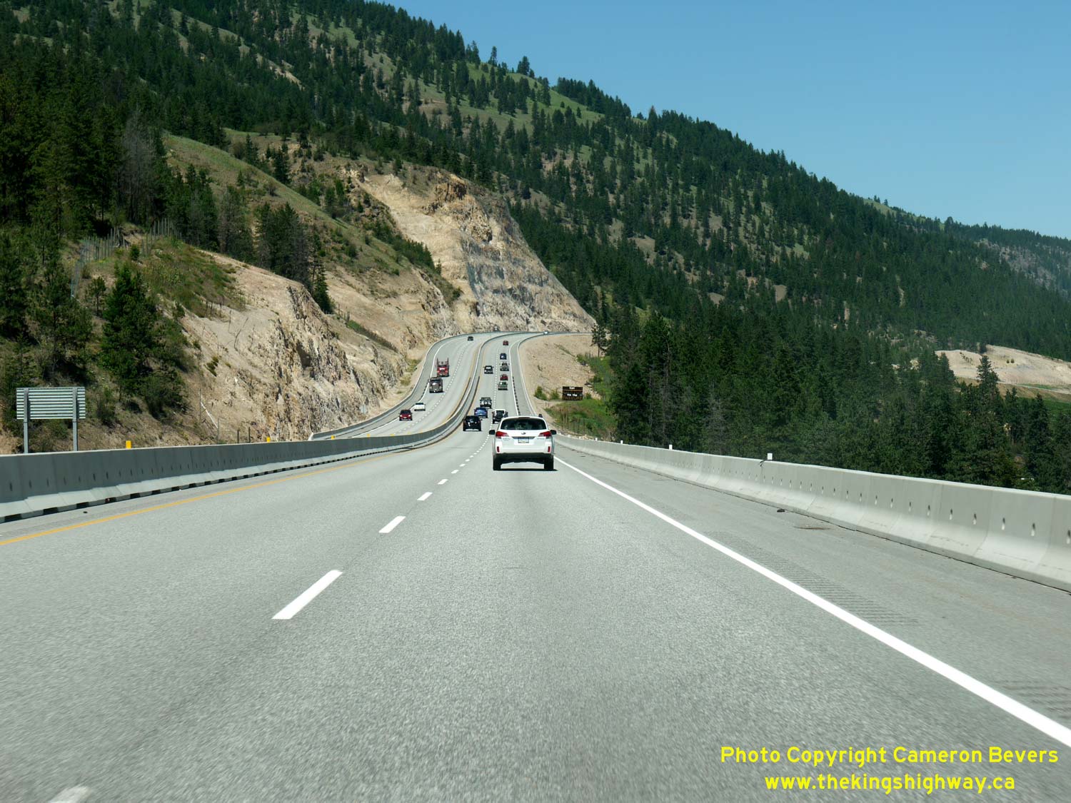

Left - Facing north along Hwy 97 about 5 km north of Lake Country. Some of the rock cuts along this new expressway are quite impressive! See an
Enlarged Photo Here. (Photograph taken on June 8, 2015 - © Cameron Bevers) Right - Hwy 97 descends from the foothills towards the northern end of the new expressway diversion between Lake Country and Oyama. See an Enlarged Photo Here. (Photograph taken on June 8, 2015 - © Cameron Bevers) 

Left - Facing south along Hwy 97 towards Kelowna from Oyama. The new expressway section of Hwy 97 bypassed the old two-lane highway, which followed the
shoreline of Wood Lake at left. The old route of Hwy 97 passed through a built-up area. See an
Enlarged Photo Here. (Photograph taken on June 8, 2015 - © Cameron Bevers) Right - Facing north along Hwy 97 towards the Pelmewash Parkway Interchange in Oyama. The expressway diversion ends just ahead around the curve, where Hwy 97 joins back to the old highway. See an Enlarged Photo Here. (Photograph taken on June 8, 2015 - © Cameron Bevers) 

Left - Green guide sign on Old Hwy 97 (Pelmewash Parkway) marking the on-ramps to Hwy 97 South to Kelowna and Hwy 97 North to Vernon. See an
Enlarged Photo Here. (Photograph taken on June 8, 2015 - © Cameron Bevers) Right - The on-ramp to Hwy 97 South is accessed via a frontage road which runs along the west side of Hwy 97. See an Enlarged Photo Here. (Photograph taken on June 8, 2015 - © Cameron Bevers) 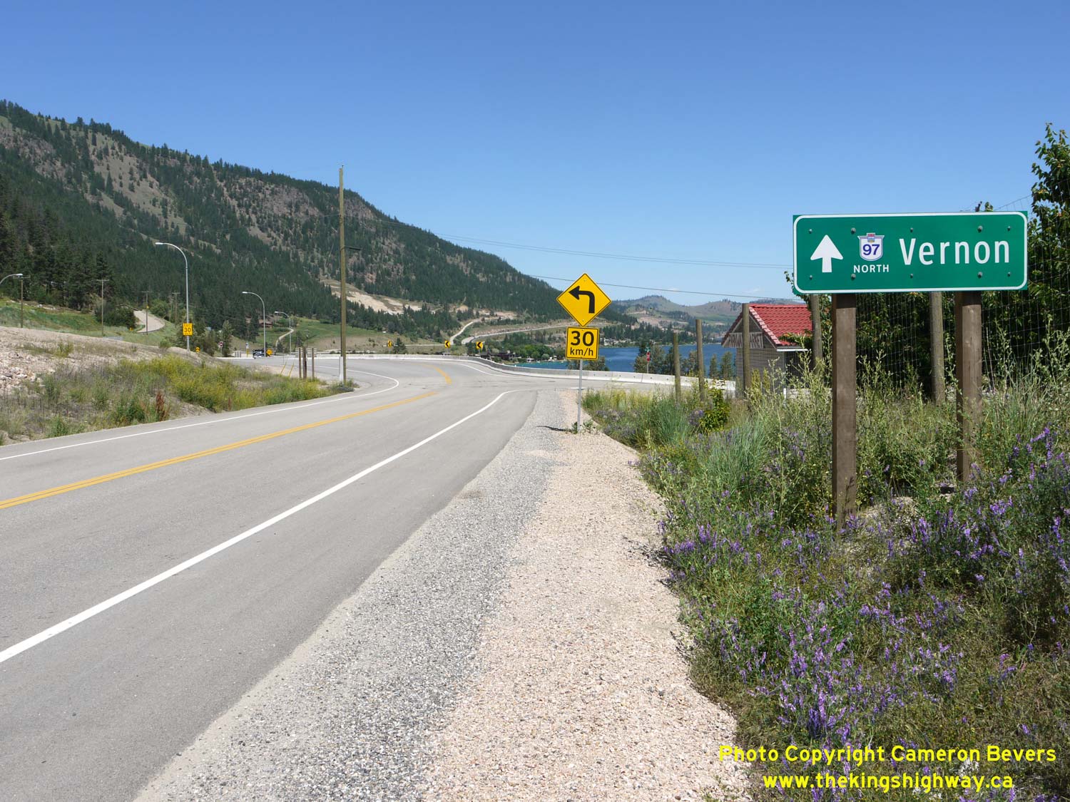

Left - Sign marking the on-ramp to Hwy 97 North on Old Hwy 97 (Pelmewash Parkway) in Oyama. See an
Enlarged Photo Here. (Photograph taken on June 8, 2015 - © Cameron Bevers) Right - View of Hwy 97 and Kalamalka Lake about 1 km north of Oyama. See an Enlarged Photo Here. (Photograph taken on June 8, 2015 - © Cameron Bevers) 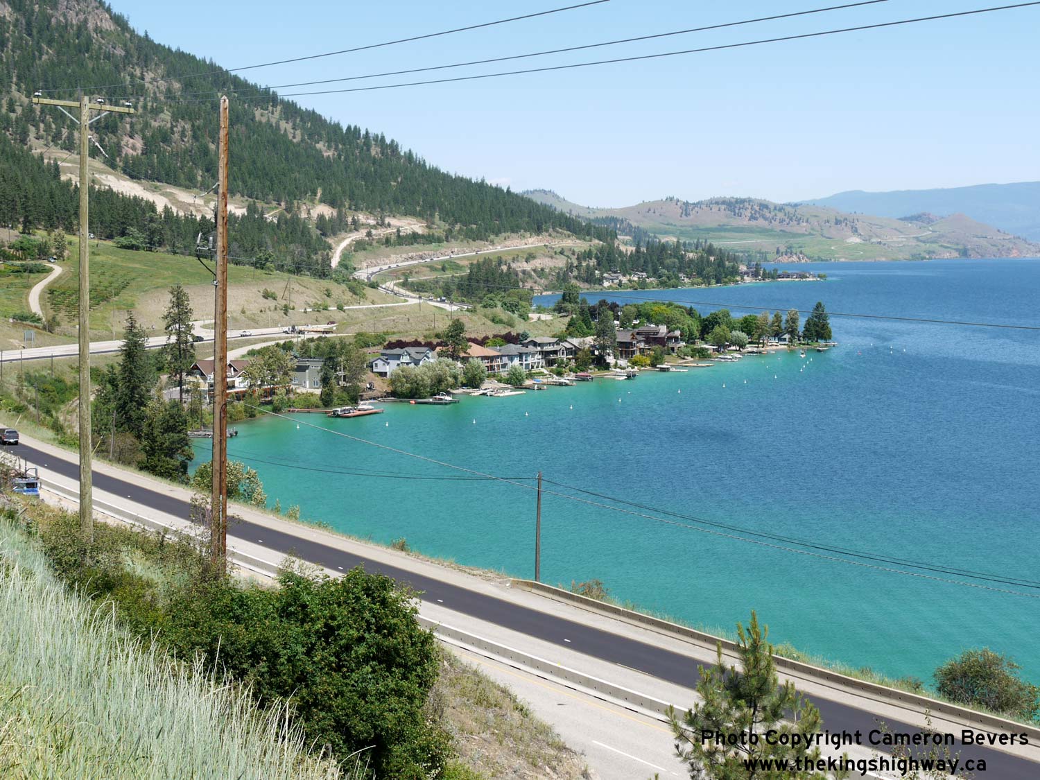
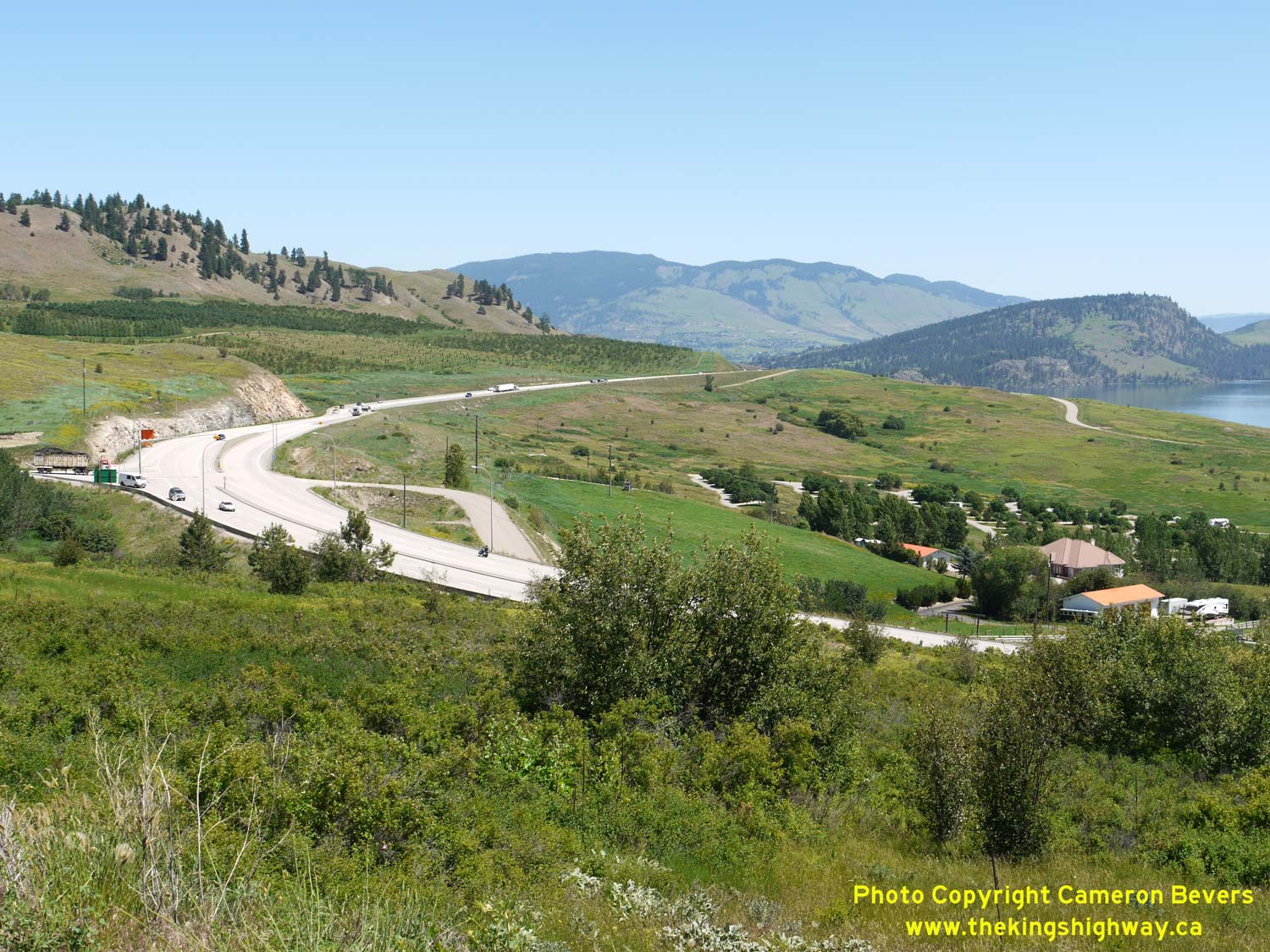
Left - The stunning colour of Kalamalka Lake is quite apparent in this photo. Hwy 97 can be seen winding its way around the western shores of Kalamalka Lake
on its route north towards Vernon. The City Centre lies about 18 km to the north. See an
Enlarged Photo Here. (Photograph taken on June 8, 2015 - © Cameron Bevers) Right - Facing south along Hwy 97 towards Kelowna from Crystal Waters Road. See an Enlarged Photo Here. (Photograph taken on June 8, 2015 - © Cameron Bevers) 

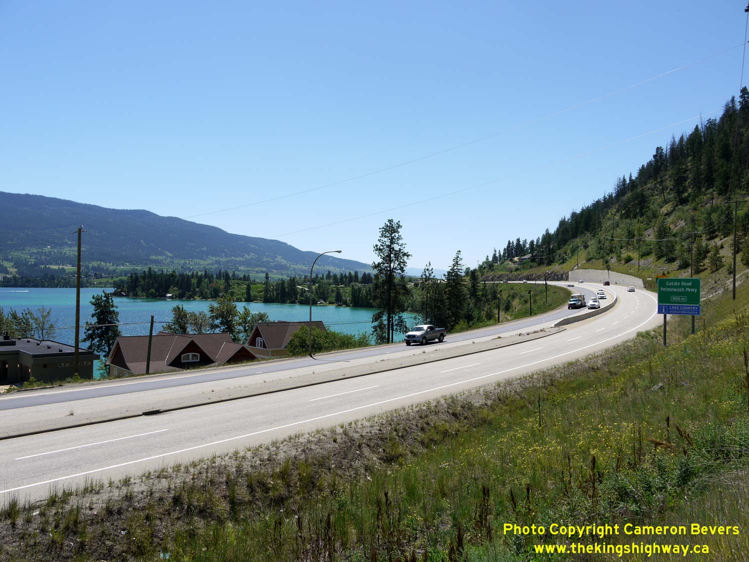
Left - Facing north along Hwy 97 towards Vernon, about 3 km north of Oyama. This was another section of Hwy 97 which was rebuilt as a four-lane divided
expressway in recent years. Note the old route of Hwy 97 (Crystal Waters Road) at right. See an
Enlarged Photo Here. (Photograph taken on June 8, 2015 - © Cameron Bevers) Right - Facing south along Hwy 97 towards Kelowna, about 3 km north of Oyama. See an Enlarged Photo Here. (Photograph taken on June 8, 2015 - © Cameron Bevers) 

Left - Facing north along Hwy 97, about 15 km south of Vernon. See an
Enlarged Photo Here. (Photograph taken on June 8, 2015 - © Cameron Bevers) Right - Facing south along Hwy 97 towards Kelowna, about 14 km south of Vernon. See an Enlarged Photo Here. (Photograph taken on June 8, 2015 - © Cameron Bevers) 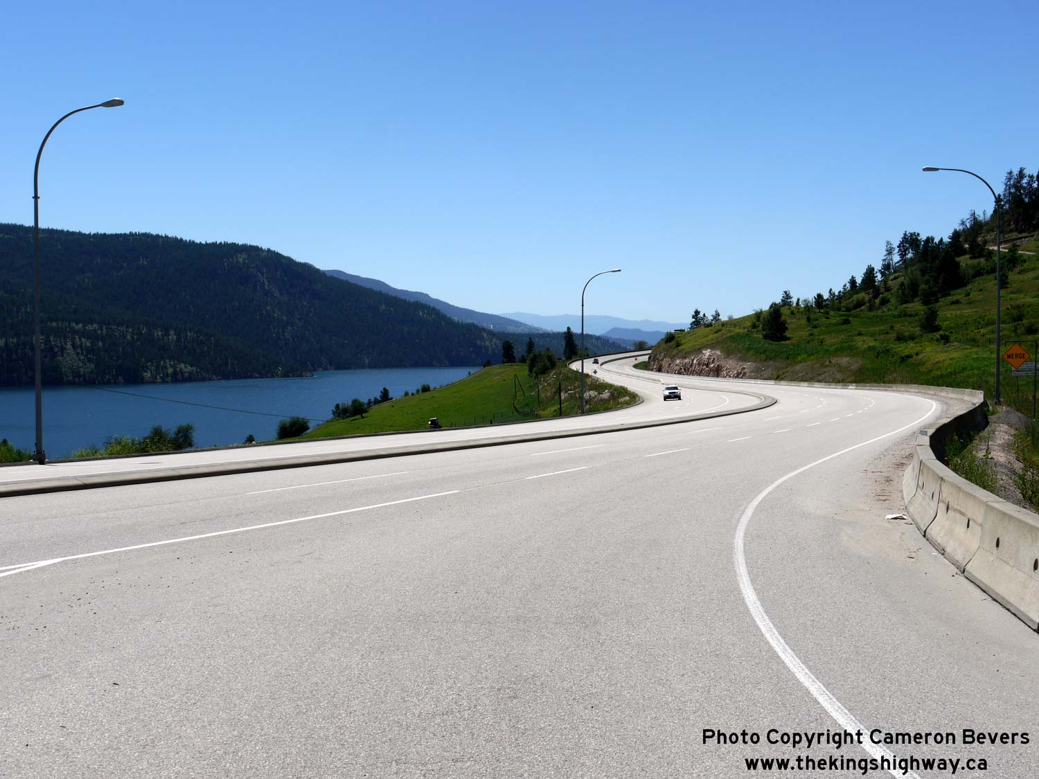

Left - This sweeping reverse curve appears along Hwy 97 at Bailey Road, located about 11 km south of Vernon. See an
Enlarged Photo Here. (Photograph taken on June 8, 2015 - © Cameron Bevers) Right - Spectacular view of Hwy 97 at Kalamalka Lake about 9 km south of Vernon, facing south towards Kelowna. The route of Hwy 97 has many scenic vistas to offer motorists between Lake County and Vernon. See an Enlarged Photo Here. (Photograph taken on June 8, 2015 - © Cameron Bevers) 
Left - Hwy 97 winds its way through arid, rolling foothills on its route north towards Vernon. The City Centre lies about 8 km to the north. See an
Enlarged Photo Here. (Photograph taken on June 8, 2015 - © Cameron Bevers) Right - Facing north along Hwy 97 at Vista Road, about 6 km south of Vernon. See an Enlarged Photo Here. (Photograph taken on June 8, 2015 - © Cameron Bevers) 

Left - View of Hwy 97 and Kalamalka Lake near Vista Road facing south towards Kelowna. See an
Enlarged Photo Here. (Photograph taken on June 8, 2015 - © Cameron Bevers) Right - Facing south along Hwy 97 about 5 km south of Vernon. See an Enlarged Photo Here. (Photograph taken on June 8, 2015 - © Cameron Bevers) 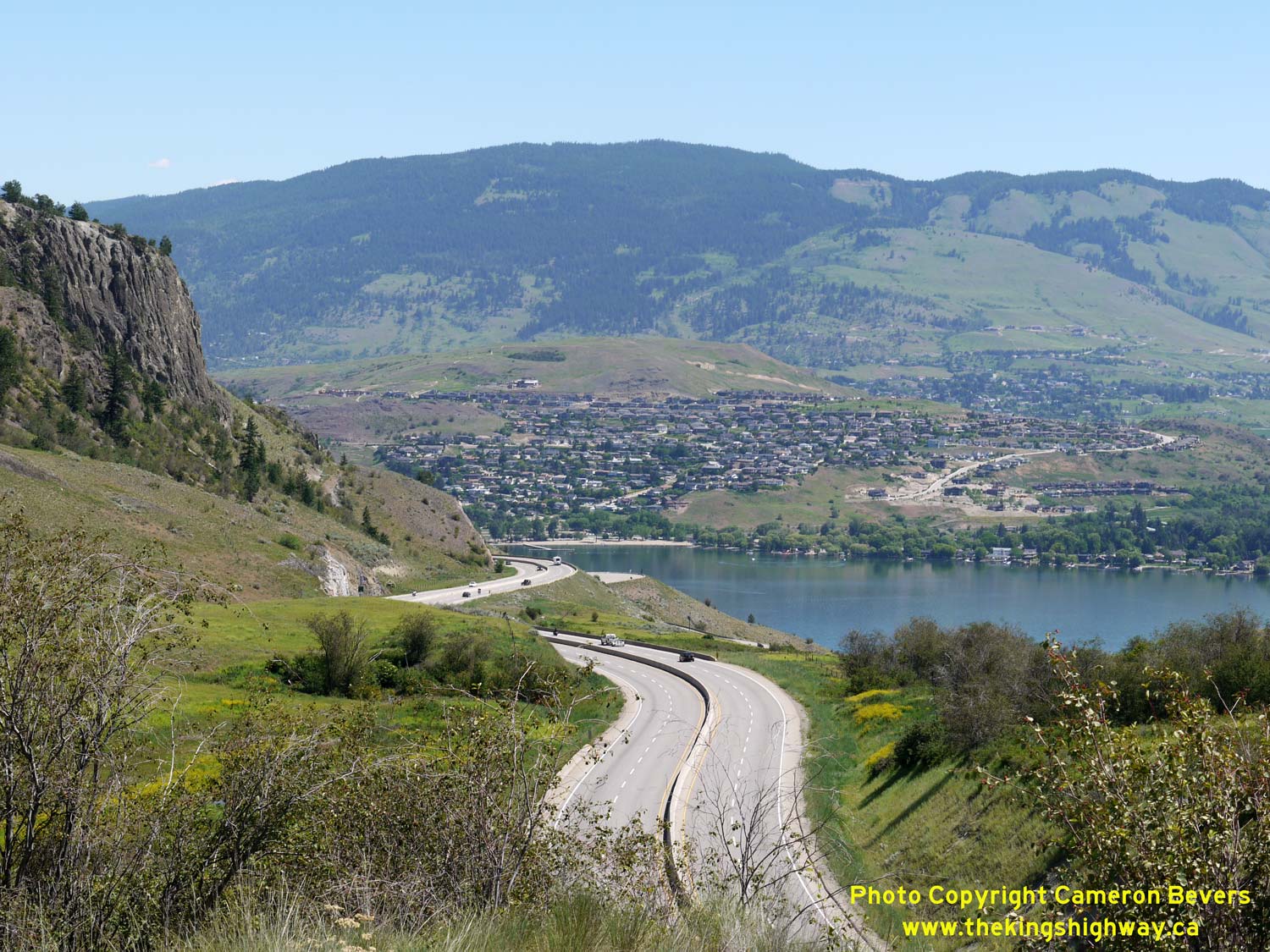

Left - The mountainside suburbs of Vernon appear on the horizon as Hwy 97 continues north, about 1 km north of Vista Road. See an
Enlarged Photo Here. (Photograph taken on June 8, 2015 - © Cameron Bevers) Right - Facing south along Hwy 97 towards Kelowna, about 5 km south of Vernon. See an Enlarged Photo Here. (Photograph taken on June 8, 2015 - © Cameron Bevers) 

Left - Reverse curve on Hwy 97, facing south towards Kelowna at Kalamalka Lakeview Drive. See an
Enlarged Photo Here. (Photograph taken on June 8, 2015 - © Cameron Bevers) Right - Facing north along Hwy 97 towards Vernon from Kalamalka Lakeview Drive. From this point north to Vernon, Hwy 97 is an undivided four lane arterial highway. See an Enlarged Photo Here. (Photograph taken on June 8, 2015 - © Cameron Bevers) 

Left - Distance guide sign on southbound Hwy 97 departing from Vernon. See an
Enlarged Photo Here. (Photograph taken on June 8, 2015 - © Cameron Bevers) Right - Oversized British Columbia Hwy 97 route marker on southbound Hwy 97 near the Hwy 6 Junction in Vernon. See an Enlarged Photo Here. (Photograph taken on June 8, 2015 - © Cameron Bevers) 
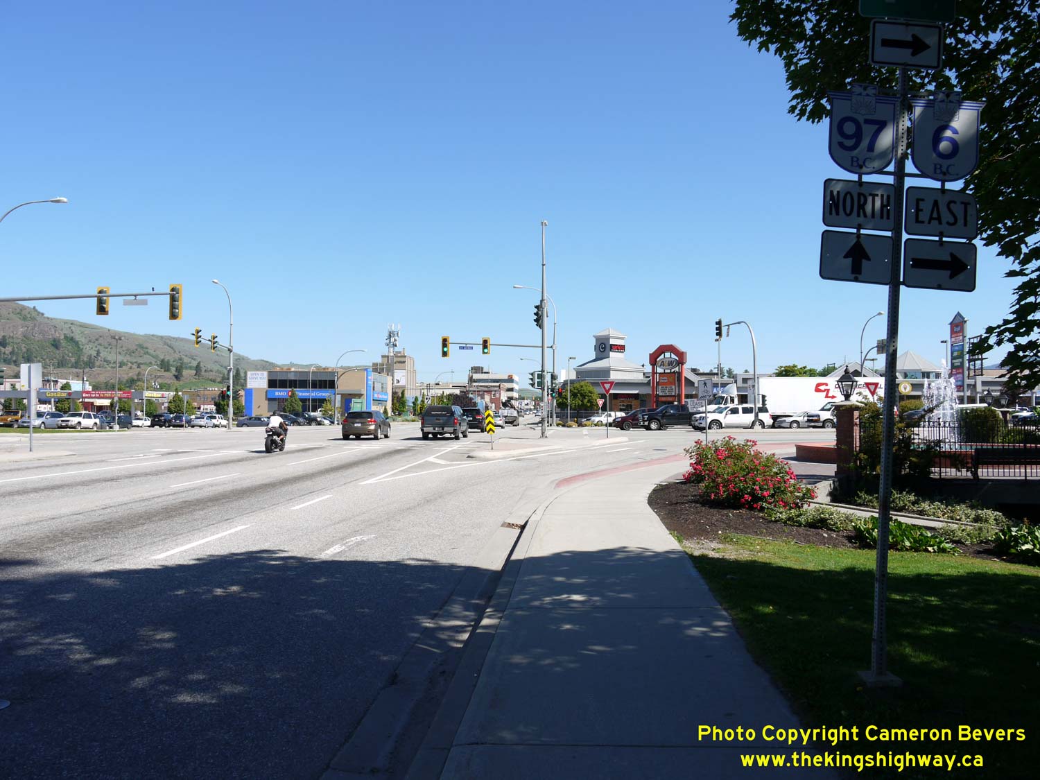
Left - Overhead guide sign on northbound Hwy 97 marking the upcoming Hwy 6 Junction in Vernon. See an
Enlarged Photo Here. (Photograph taken on June 8, 2015 - © Cameron Bevers) Right - Junction sign assembly on northbound Hwy 97 at the Hwy 6 Junction in Vernon. See an Enlarged Photo Here. (Photograph taken on June 8, 2015 - © Cameron Bevers) 

Left - Facing east along 25th Avenue (Hwy 6) from the Hwy 97 Junction in Vernon. The overhead sign directs through traffic to use the right lane only, since
Hwy 6 turns right at the next traffic signal. Hwy 6 continues east from Vernon to Nakusp, where the route turns south towards Castlegar and Nelson. See an
Enlarged Photo Here. (Photograph taken on June 8, 2015 - © Cameron Bevers) Right - Overhead guide sign marking the turn from westbound Hwy 6 to southbound Hwy 97. This heavy movement is accommodated by a dual left-turn lane. See an Enlarged Photo Here. (Photograph taken on June 8, 2015 - © Cameron Bevers) 

Left - Western terminus of Hwy 6 at the Hwy 97 Junction in Vernon. See an
Enlarged Photo Here. (Photograph taken on June 8, 2015 - © Cameron Bevers) Right - Oversized British Columbia Hwy 6 route marker on southbound Hwy 97 in Vernon. See an Enlarged Photo Here. (Photograph taken on June 8, 2015 - © Cameron Bevers) 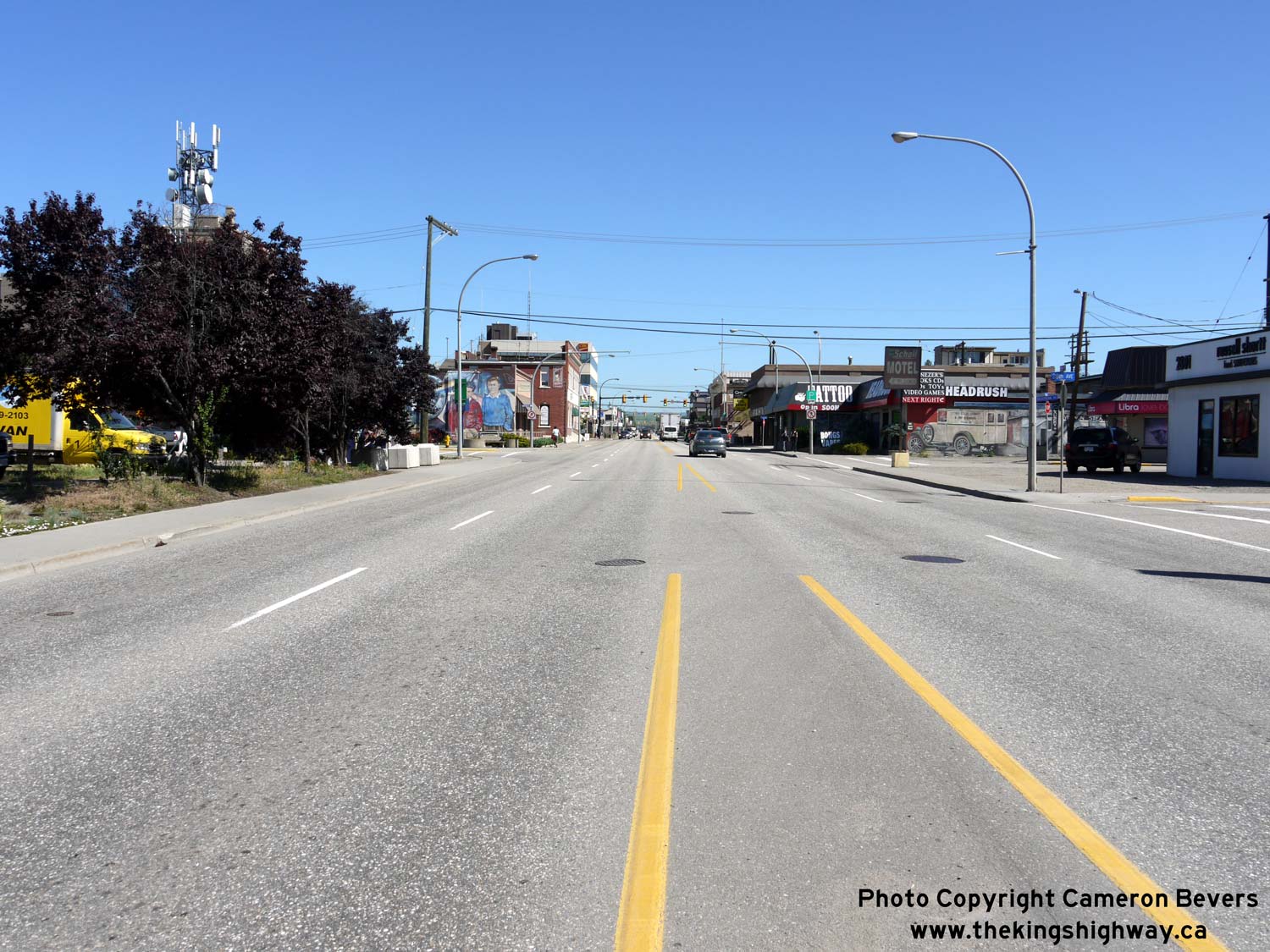
Left - Facing north along 32nd Street (Hwy 97) towards Downtown Vernon from the Hwy 6 Junction. See an
Enlarged Photo Here. (Photograph taken on June 8, 2015 - © Cameron Bevers) Right - Facing south along 32nd Street (Hwy 97) towards Downtown Vernon near 43rd Avenue. Like most towns and cities in the Okanagan Valley, Hwy 97 serves as both the town's main street as well as a long-distance through highway. See an Enlarged Photo Here. (Photograph taken on June 8, 2015 - © Cameron Bevers) 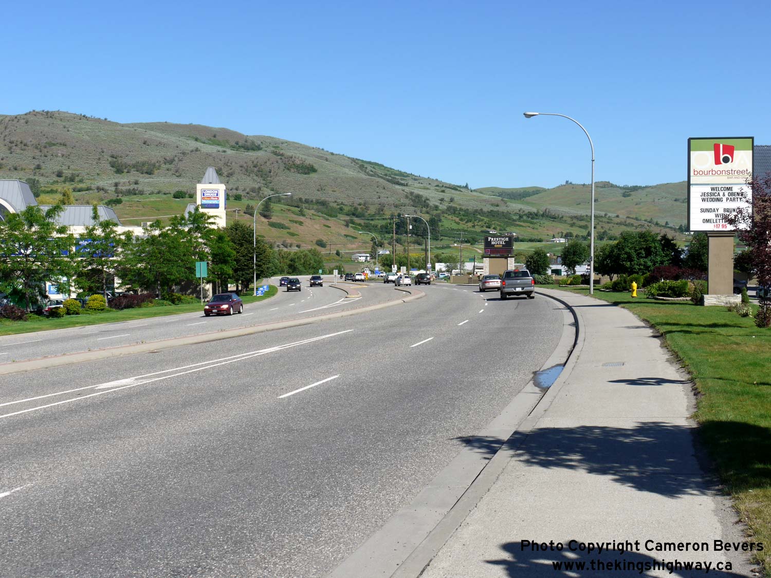

Left - Start of the Vernon Bypass (Hwy 97), facing north near 43rd Avenue. This rather odd diversion is about 3 km in length, and bypasses the northern end of
Vernon only. The bypass has a grade-separated partial interchange at 27th Street and a signalized at-grade intersection at 48th Avenue. However, the southern end of
the diversion is now rather built-up. See an Enlarged Photo Here. (Photograph taken on June 8, 2015 - © Cameron Bevers) Right - Facing south along the Vernon Bypass (Hwy 97) from the 27th Street Interchange. A median barrier was recently added to this previously undivided highway. See an Enlarged Photo Here. (Photograph taken on June 8, 2015 - © Cameron Bevers) 

Left - Distance guide sign on northbound 27th Street departing Vernon. Note the Vernon Bypass (Hwy 97) flyover in the background. See an
Enlarged Photo Here. (Photograph taken on June 8, 2015 - © Cameron Bevers) Right - Exit ramp from southbound Hwy 97 to 27th Street. The flyover on the Vernon Bypass spans both the exit ramp and the adjacent railway. Due to the presence of this railway, this is only a two-ramp partial interchange. There is ramp access to 27th Street from southbound Hwy 97 and ramp access to northbound Hwy 97 from northbound 27th Street. Since there are no south-oriented ramps, traffic on 27th Street wishing to get back on Hwy 97 southbound must use 48th Avenue or some other alternate access point. See an Enlarged Photo Here. (Photograph taken on June 8, 2015 - © Cameron Bevers) 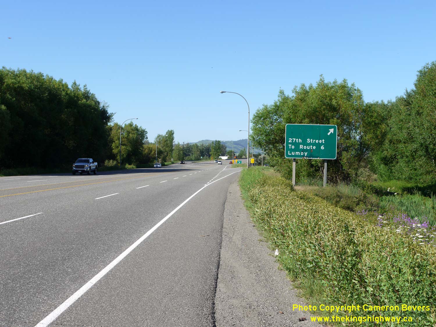
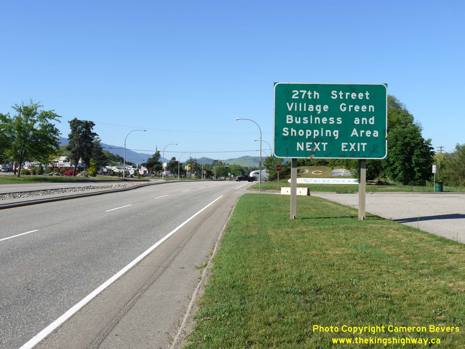
Left - Exit sign on southbound Hwy 97 for 27th Street in Vernon. Note that traffic bound for Hwy 6 is encouraged to follow 27th Street rather than Hwy 97.
Travel times to Hwy 6 are similar, regardless if motorists choose to utilize either 27th Street or Hwy 97 through Downtown Vernon. See an
Enlarged Photo Here. (Photograph taken on June 8, 2015 - © Cameron Bevers) Right - Sign on southbound Hwy 97 approaching the 27th Street Interchange in Vernon. The signs approaching the 27th Street Interchange are in Federal Highways Administration (FHWA) font, which are not commonly used in British Columbia. See an Enlarged Photo Here. (Photograph taken on June 8, 2015 - © Cameron Bevers)
Continue north along BC Highway 97 from Vernon to the Highway 1 Junction |
|---|
Links to Adjacent BC Highway Photograph Pages:
Back to BC Highway 41 Photos /
British Columbia Highways Photo Index /
On to BC Highway 97A Photos
Ontario Highway History - Main Menu / Vacation Highway Photos - Main Menu Website contents, photos & text © 2002-2026, Cameron
Bevers (Webmaster) - All Rights Reserved / Contact Me
|
|---|